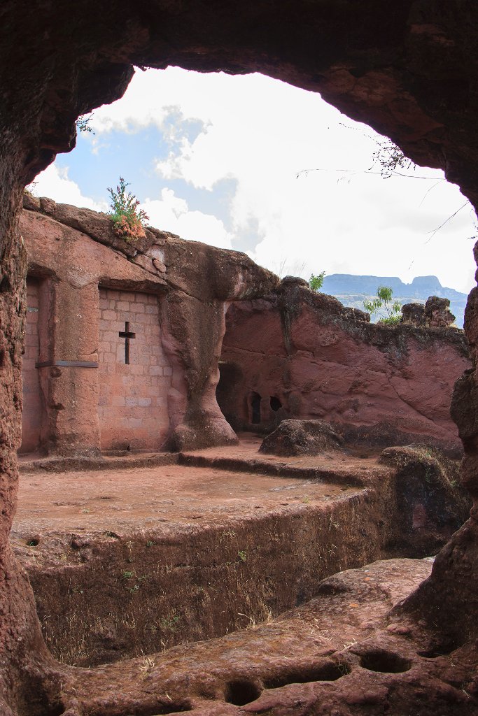
Up Ron & Marjolijn's holiday pictures » 2013-11 Ethiopia » 06-Lalibela Prev Next Slideshow

 Previous image  Next image  Index page  Original Image [39-Bet Lehem.jpg - 922kB]
28-Beth Giyorgis
29-The tunnel to Beth Giyorgis
30-People
31-Praying in front of Beth Giyorgis
32-The priest of Beth Giyorgis
33-Beth Giyorgis
33-Hermit's cavers
34-Around the churches
35-The bridge to Bet Gebriel-Rafael
36-Bet Gebriel-Rafael
37-Bet Gebriel-Rafael
38-Entrance door Bet Gebriel-Rafael
  39-Bet Lehem.jpg - Bet Lehem  
40-Bet Emanuel
41-The priest of Bet Emanuel
42-Marjolijn waiting outside
43-The tunnel to Bet Mercurios
44-Bet Mercurios
45-Bet Mercurios
46-Around the churches
47-Typical house in Laliberla
48-The surroundings of Lalibela
49-A coffee ceremony special for us
50-Mountainous Ethiopia from the air
51-Descending in Addis Ababa

Bet Lehem Download Original Image
Latitude: N 12°1'53,00" | Longitude: E 39°2'40,93" | Altitude: 2488 metres | Location: Lalibela | State/Province: Amhara Region | Country: Ethiopia | Copyright: Ron Harkink | See map
Total images: 51 | Help